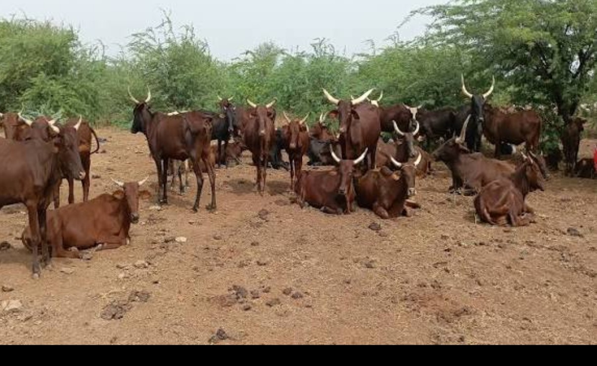
Between herds searching for water and cultivated fields, tension is constant in the northern regions. To address this, the MINEPIA has made georeferenced mapping a tool for mediation.
The map divides Cameroon into five distinct zones, from the Sudan-Sahelian strip to the green highlands, passing through the arid savannah
In the vast expanses of Cameroon’s Far North, where the ochre sky meets the drought-stricken earth, a silent revolution is underway. It is not playing out on battlefields, but on georeferenced maps, using GPS points and satellite data. The mapping of pastures, this strategic tool rigorously managed by the Ministry of Livestock, Fisheries and Animal Industries (MINEPIA), is profoundly reshaping the relationships between agricultural and pastoral communities. Far from being a mere technical exercise, this painstaking work aims to secure pastoral areas, precisely delineate transhumance routes, and, above all, prevent the deadly conflicts that too often plague regions where livestock and crops coexist. By identifying fodder resources, watering points, and resting areas, MINEPIA is laying the groundwork for a peaceful and sustainable coexistence between two worlds that are diametrically opposed, yet inextricably linked.
At the heart of this monumental undertaking lies a fundamental challenge: the agro-ecological zoning of the country. The mapping divides Cameroon into five distinct zones, from the Sudanian-Sahelian belt to the verdant highlands, passing through the arid savanna. Each area is meticulously examined, its pastures analyzed, and its vulnerability to trampling and overexploitation assessed. These maps are not simply static representations; they are living tools that reveal the health of the land and the pressure exerted by livestock. They also highlight essential pastoral infrastructure: the condition of vaccination parks, the functionality of boreholes, and the usability of grazing corridors. Thanks to this painstaking georeferencing work, every watering point, every track, every resting area is now identified and mapped, providing herders with reliable reference points for organizing their movements and farmers with clear boundaries that must not be crossed.
Securing pastoral areas is not a matter of administrative luxury, but a vital necessity for hundreds of thousands of families who depend on livestock farming for their livelihoods. In northern regions, where the dry season forces herds to migrate hundreds of kilometers, every poorly marked transhumance route is a potential source of conflict. Agricultural encroachment on these corridors, crop destruction by stray herds, and armed clashes between communities have claimed thousands of lives in recent decades. Pastoral mapping thus emerges as a powerful tool for peace, an instrument of mediation that, by delineating spaces and establishing common rules, defuses tensions at their source.
To realize this vision, the Ministry of Livestock, Fisheries and Animal Industries (MINEPIA) has deployed large-scale institutional initiatives. The GESEP-MINEPIA project, the true backbone of this strategy, has enabled the detailed mapping of land use and natural pastures, particularly in the northern provinces and the Far North, the true cradle of Cameroonian livestock farming. Participatory surveys conducted in close collaboration with the International Organization for Migration (IOM) have resulted in detailed atlases of transhumance routes, pinpointing with surgical precision the urgent needs for signage and water infrastructure. These documents, essential guides for herders, are now indispensable references for all stakeholders, from administrative authorities to traditional chiefs and farmers’ organizations.
The work doesn’t stop there. Several official documents are available to field workers for accessing analytical data and specific zoning maps. The FEWS NET zoning and analysis report provides insightful commentary on livelihoods in Cameroon, while the IOM corridor atlas details transhumance routes across the country with remarkable comprehensiveness. These resources are a wealth of information for anyone interested in the sustainable management of pastoral areas and conflict prevention.
Mapping pastures is not merely a technical exercise; it embodies an ambitious political vision: that of a Cameroon where herders can graze their livestock safely, where farmers cultivate their fields without fear of destruction, and where natural resources are shared equitably by all. Through this land tenure security strategy, the Ministry of Livestock, Fisheries and Animal Industries (MINEPIA) is outlining a future where livestock farming and agriculture, far from being opposed, reinforce each other. Maps have been drawn, trails marked, and water points identified. Now, this data must be translated into concrete actions on the ground, so that geography finally becomes a common language of peace and shared prosperity.